For those looking to ride from Wodonga to the Beechworth, via Yackandandah, we’ve shared a snapshot of how it might look…
The first light catches on the Murray as you roll out of Wodonga, the cool air crisp against the skin. It’s early enough that the streets are quiet — just you, the hum of tyres, and a long, rolling road into the foothills of the Victorian Alps. Today’s route will take you through Yackandandah — another gold-rush town found in the early 1850s, and one of the prettiest towns in the North East — before climbing steadily into Beechworth, perched high above the valley.
Leaving town on Beechworth–Wodonga Road (C315), the first 10 kilometres are gentle. The road is sealed and smooth, with a generous shoulder and light traffic early in the day. It’s mostly downhill to Staghorn Flat, a ribbon of bitumen that cuts through open farmland and undulating country — the kind of terrain where you find a rhythm and let the scenery roll by.
After about 12 km, the road tips up slightly before dropping you into Yackandandah, a town that feels lifted from another century — elm-lined streets, stone buildings, and a main drag made for coffee stops. It’s the perfect halfway point, sitting around 300 metres above sea level. But the easy part ends here. From Yackandandah to Beechworth, the real work begins…But you have options:
Option 1: The Road Route (C315)
Leaving town via Yackandandah–Beechworth Road, the tarmac narrows as the climb begins. The first few kilometres roll easily enough, with long, sweeping bends and gradients around 3–4%. As you pass the turnoff to Osbornes Flat Road, the slope steepens, winding through farmland and granite hills.
From here to Wooragee Gap, it’s a consistent climb — 15 kilometres with around 450 metres of elevation gain. The middle section, near the Wooragee Primary School and Cemetery, has the sharpest ramps, hitting 8–9% briefly. It’s shaded and quiet, with little traffic but enough pitch to keep you in your small ring. The surface is smooth, the corners flowing, and the forest thickens as you near the top.
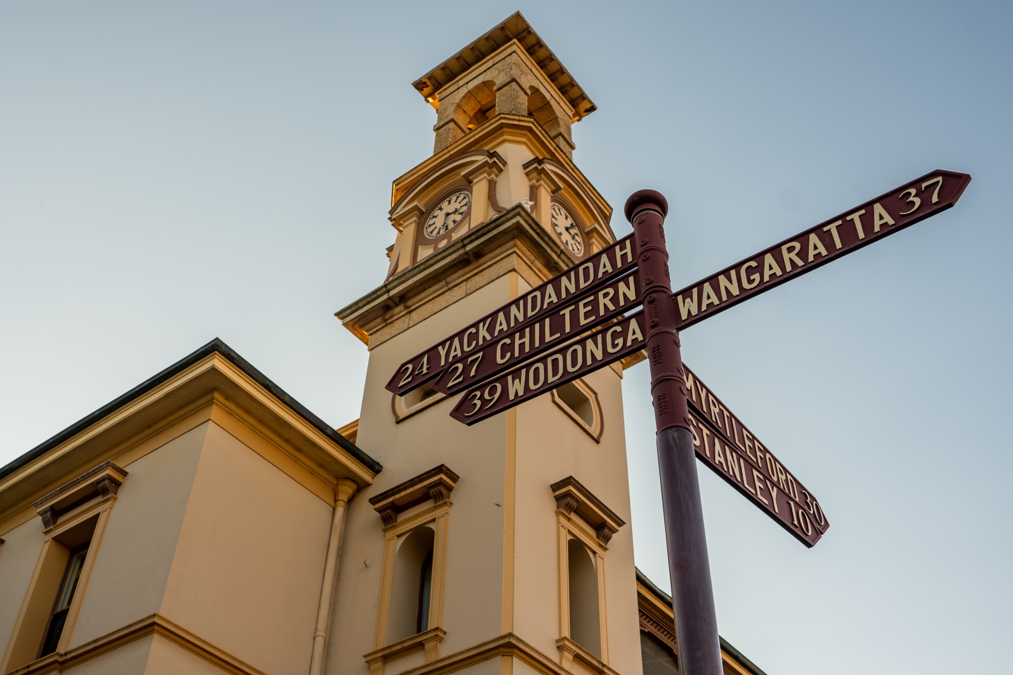
As you crest the ridge around Beechworth–Wodonga Road, the effort eases. The final few kilometres roll gently into Beechworth, where the air feels cooler and the scent of pine and history fill the streets.
Option 2: The Rail Trail Route
For a quieter, more relaxed ascent, take the Murray to Mountains Rail Trail — a fully sealed, traffic-free alternative that now connects Yackandandah to Beechworth. The trail begins just outside the Yackandandah township (signed clearly near Racecourse Road) and follows the old railway alignment, giving a gentle and consistent climb all the way to Beechworth.
It’s around 18 kilometres on the trail, with roughly 400 metres of elevation gain, and the gradient rarely exceeds 3%. The surface is pristine — sealed asphalt with clear markings — ideal for road, gravel, or e-bikes. It winds through farmland, forest, and granite country, crossing small creeks and open ridgelines.
There are rest stops and viewpoints along the way, and the sense of quiet is remarkable — no cars, just birdsong and the sound of wind through the trees. The final few kilometres approach Beechworth from the east, joining the original Murray to Mountains trailhead near Lake Sambell. From there, it’s a gentle roll into the heart of town.
At the top, the air is cooler, the pace slower. The cafés hum with cyclists and locals alike, and the cellar doors glint in the afternoon sun. It’s a finish line with options too: a crisp glass of Albariño (or three), and a long lunch at Tanswell’s Commerical Hotel, OR maybe just another descent — back to Yackandandah, keen to relax in the beer garden of their historic Star Hotel.
Ride Snapshot:
-
Distance:
-
Wodonga → Yackandandah → Beechworth (road route): ~45 km
-
Via Rail Trail from Yackandandah: ~50 km total
-
-
Elevation gain: ~650–700 m total
-
Road surface: Fully sealed throughout; rail trail option is smooth bitumen, traffic-free
-
Climbing profile:
-
Wodonga → Yackandandah: Rolling terrain, mostly downhill
-
Yackandandah → Beechworth (road): 15 km climb averaging 4–6%, short 8–9% pinches near Wooragee
-
Yackandandah → Beechworth (rail trail): 18 km gradual climb, consistent 2–3% grade
-
-
Difficulty:
-
Road route: Moderate, with steeper pitches and traffic on the main road
-
Rail trail: Easy to moderate — longer, gentler, and ideal for touring or social rides
-
-
Highlights:
-
Fast, open descent into Yackandandah
-
Historic township charm and mid-ride coffee stops
-
Quiet, scenic rail trail with sweeping valley views
-
Rolling into Beechworth’s historic streets — heritage, wine, and mountain air
-
-
Best for: Cyclists seeking variety — a mix of open-road adventure, gold-country history, and a glass (or two) of something earned at the top
Keen for more?
To view the ride from Chiltern to Stanley via Beechworth, see here.
To view the ride from Myrtleford to Beechworth, see here.
To view the ride from Wangaratta to Beechworth, see here.